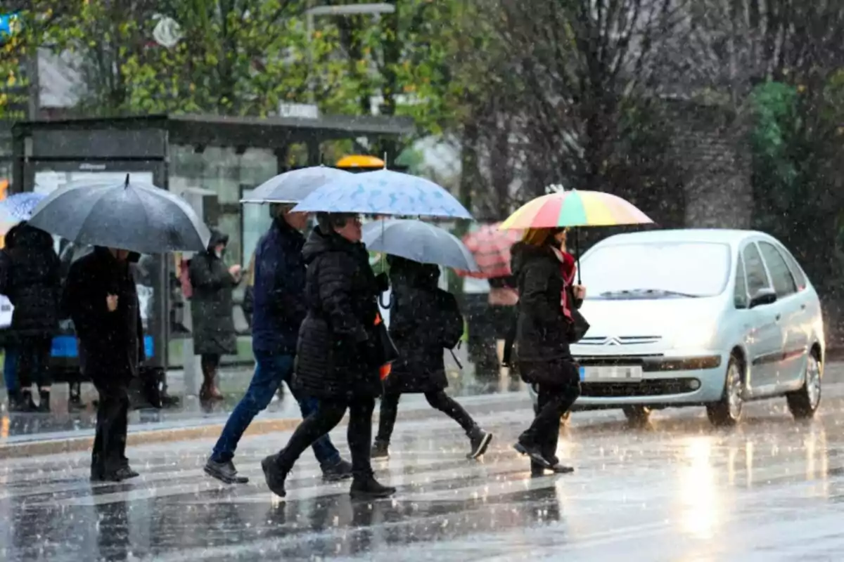
Meteorologist Eloi Cordomí has issued a clear and forceful warning about the weather we can expect next weekend. An episode of widespread instability is approaching that will affect much of Catalonia. Once again, umbrellas will be essential, and good weather will have to wait a little longer.
Forecast models indicate that Sunday will be the most unstable day. This is due to a significant increase in rainfall, intense storms, and a typically spring-like atmosphere. On Saturday morning, the rain will already begin to be felt on the coast and pre-coastal areas of Barcelona and Girona.
As the day progresses, the skies will become covered with showers and locally strong storms starting at midday. The regions of the Pre-Pyrenees and the Catalan Pyrenees will be vulnerable to this episode, where hail is not ruled out. In Ponent and southern Catalonia, some showers will also form, although more sunny spells and intermittent clearings are expected.

An unstable weekend
The important warning comes for Saturday afternoon: a pocket of cold air in the northwest of the peninsula will cause a very unstable situation in Aragon. Very strong storms will arrive, also affecting Navarra, La Rioja, and the Basque Country. In Catalonia, this system could bring notable storms in the late afternoon in the northwest of the territory, especially in areas bordering Aragon.
The snow level will be at 7,874 ft. (2,400 meters), so the main effects will be in the form of intense rain and electrical activity. But it will be the early hours and first hours of Sunday when Catalonia will experience the peak of the storm. The most intense storms will move from west to east and from south to north, mainly affecting the northern half of the territory.
The rain will keep up for at least a week
The truth is that we are having an exceptionally wet May in our country. The rain and storms are pouring down, locally intensely, in many regions. This is undoubtedly great news for the Catalan reservoirs, which have been suffering from drought in recent years.

In this regard, many are wondering how long we will continue with this dynamic. For now, the rain is assured for at least another week. The atmosphere will remain unstable, and the rain will continue to fill the reservoirs.
However, during the second half of May, the dreaded anticyclone could set in. High pressure will keep the rain away and help raise the temperatures. This situation could occur around May 16, although many days remain.

