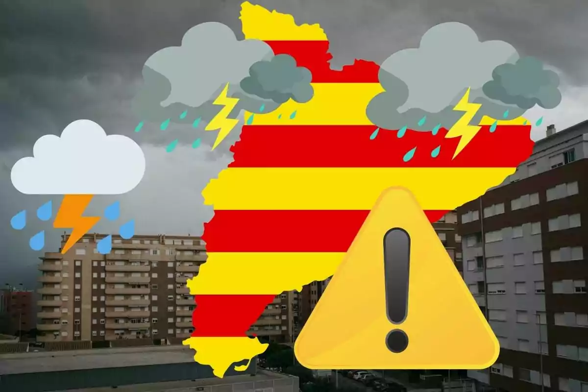
Catalonia will experience a day marked by a strong contrast: a sunny start to the day and an afternoon with a notable worsening of the weather. Especially in the interior of the country, where an umbrella will be the best companion. This is what meteorologist Eloi Cordomí has announced, who has warned about the possible formation of intense storms that could affect several regions.
This time, the most affected areas will be Lérida and Tarragona. During Monday morning, the weather is mostly stable, sunny, and warm, as the predictions indicate. In fact, according to the forecasts, temperatures will reach 80 to 84°F (27 to 29°C) in the interior of Tarragona, Ponent, and much of Lérida.

Storms that will hit hard in the afternoon
All this with slightly milder values on the coast and pre-coastal areas, however, in the Pyrenees and Pre-Pyrenees, the highs will remain between 61 and 72°F (16 and 22°C). Although it is not ruled out that in these mountainous areas the first showers will be recorded by mid-morning, especially in the High Pyrenees. The situation will take a turn from noon.
The forecasts point to an increase in instability, with the development of convective cells that will lead to storms that could be locally strong. The map of accumulated precipitation in 24 hours shows that the most affected regions will be the interior of Lérida and Tarragona. It is there where accumulations of between 0.8 and 2 in. (20 and 50 mm), and even occasionally above, are expected.

The areas most affected by the rains
Likewise, more than 2.4 in. (60 mm) could be exceeded in some areas of Pallars, Alt Urgell, Priorat, and the Conca de Barberà. In these areas, the storms may be accompanied by strong electrical activity, gusts of wind, and possible hail. As the afternoon progresses, the storms will move northeast, affecting the interior of the regions of Gerona and Barcelona.
Although no such high rainfall records are expected there, intense occasional showers that may surprise in the final stretch of the day are not ruled out. Meteocat recommends closely following updates of weather warnings and exercising extreme caution in mountainous areas. Once again, it is better to be patient and accept that spring is also this: sun, heat, and many rains.

