Summer continues to resist arriving in Catalonia, something especially noticeable in the mornings. The atmosphere remains cool in the early hours of the day, especially this Tuesday, after the intense storms on Monday afternoon. But experts are already keeping an eye on what will happen in the coming days, because it could surprise many.
Apparently, a new mass of colder air will arrive on the peninsula in the coming days. In addition to causing a reappearance of storms and showers, it will lower the thermometers again, especially in the Pyrenees. So wearing shorts will have to wait a little longer.

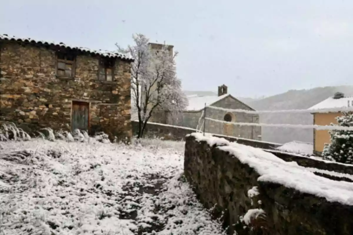
Starting Thursday, the weather change will be accompanied by snowfalls, which could leave significant accumulations at high altitudes. Snow will make its presence felt in the Pyrenees between Thursday and Friday. According to current forecasts, snowflakes can be observed above 6,561 ft. (2,000 meters).
Snowfalls will leave many inches in the Pyrenees
Even so, in some more exposed areas or on suitably oriented slopes, accumulations of more than 7.9 in. (20 cm) of new snow could be recorded. An unusual phenomenon at this time of year, which once again paints the Pyrenean peaks white in the middle of May. The snow accumulation map for the next five days shows a winter panorama concentrated in the Pyrenees.
Especially in central and eastern sectors. The warm colors on the map scale indicate areas with accumulations exceeding 7.9 in. (20 cm), confirming the intensity of the episode. In addition to the snow, a marked thermal drop is expected.
The predicted anomalies reflect values clearly below what is usual for these dates. This will imply cold temperatures in much of the interior and north of Catalonia. All of this will require bringing out warm clothing again, especially on Friday, when the impact of the cold air will be more noticeable.

Experts recommend keeping track of the maps' evolution
This weather situation breaks with the warm dynamic that had been recorded during much of the spring. Although a prolonged duration of this episode is not expected, it does represent a sudden weather change. A pause for those who had already stored away the duvet and warm jackets.
In summary, the weather reminds us once again that in the Pyrenees, spring can be very variable. The northern front will bring cold and snow, even at relatively high altitudes. It will be necessary to stay alert to the evolution over the coming days, but what is clear is that, at least temporarily, summer is postponed.

